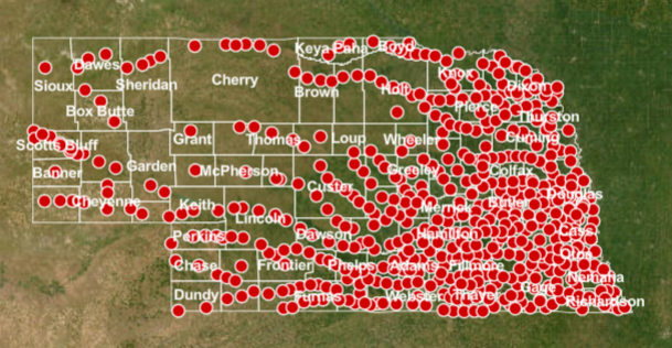
Virtual Nebraska is a geographically-based interactive tool that includes:
- History: a compilation of histories of all incorporated municipalities in the state -- from Gross (the smallest) to Omaha (the largest). Each town's story includes a brief history and pictures showing a contrast between the past and present.
- Imagery: Satellite, aerial and modelled imagery including
- Education Modules
-
- Agri-sensing - Using Remote Sensing to Assess Irrigation and Fertilizer Use
- History of a Town - Using Color-Infrared Aerial Photography
- Color-Infrared Imagery Activity
- Uses of Aerial Color-Infrared Photography in Agriculture
- Wetlands and Remote Sensing with Landsat-TM data
- Salt Creek - Assessing the Impact of Channelization on a Natural Creek
- Wetland Biology - Using Remote Sensing to Guide Species Management
- Tutorials