banner
CALMIT
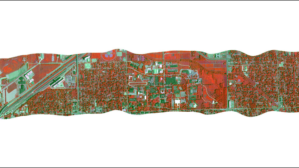
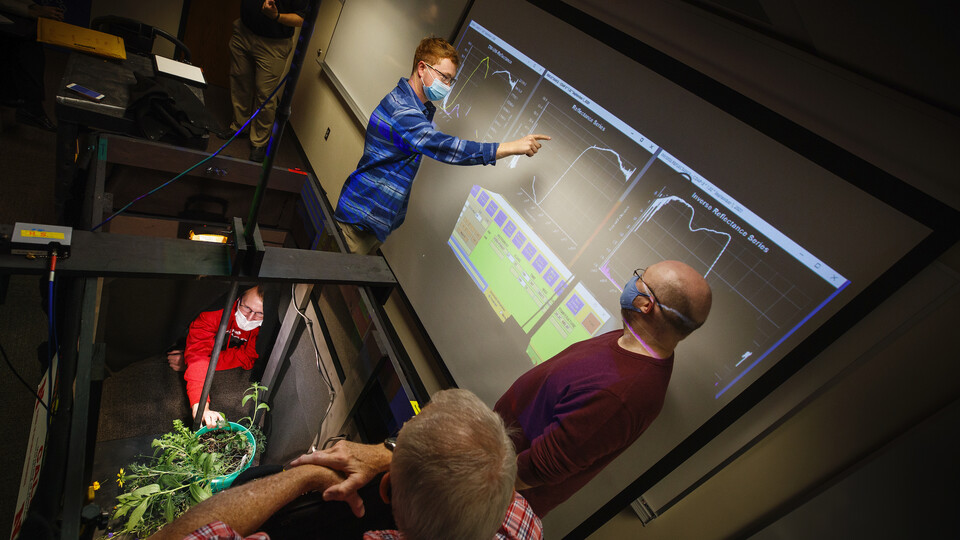
The Center for Advanced Land Management Information Technologies (CALMIT) is a recognized center-of-excellence for education and research in remote sensing and geospatial technologies for the management of natural resources and agriculture. Our state-of-the-art instruments and sensors allow us to look beyond the surface to learn more about vegetation productivity and response to plant stress.
Our Mission and Vision
The principal mission of CALMIT is to conduct research and instruction of the highest quality in remote sensing, geographic information systems (GIS), and related technologies. Our vision is to be internationally recognized as a center of excellence for applications of geospatial technologies to issues in natural resources management.
Recent News
Recent News


Equipment Rental
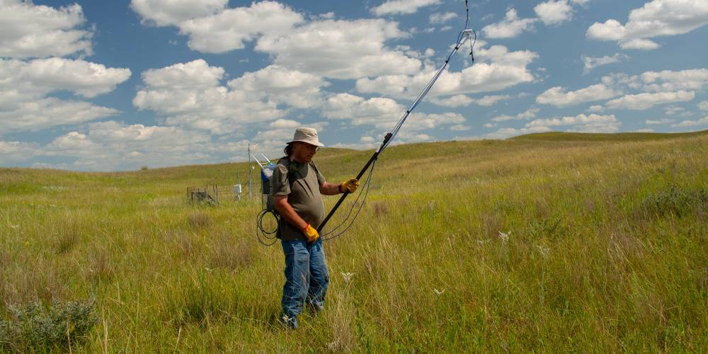
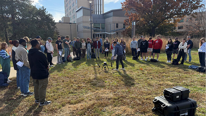
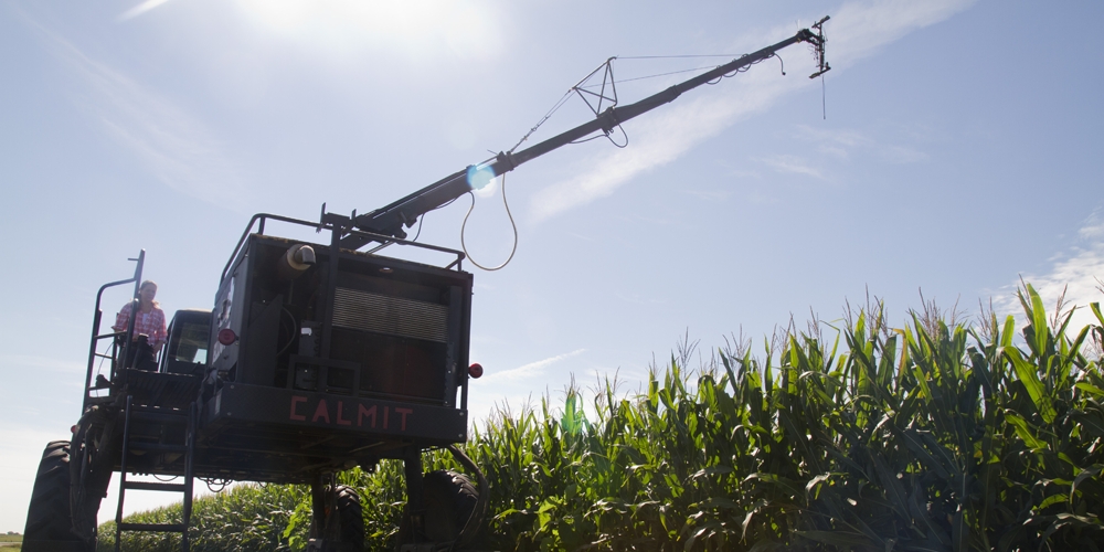
CALMIT provides instruments and platforms for field sampling of reflectance and fluorescence, providing advanced optical tools for field research. In addition to operating several field spectrometers, CALMIT utilizes a range of field optical sensors for automated monitoring of ecosystem function (e.g. phenology, photosynthetic productivity, and ecosystem health). A unique aspect of CALMIT’s field program is the variety of portable and automated sampling platforms available (e.g. backpack systems, modified crop sprayers, tram systems, and UAVs).
Many of these instruments and platforms can be made available to the research community on a cost basis.


Our Location
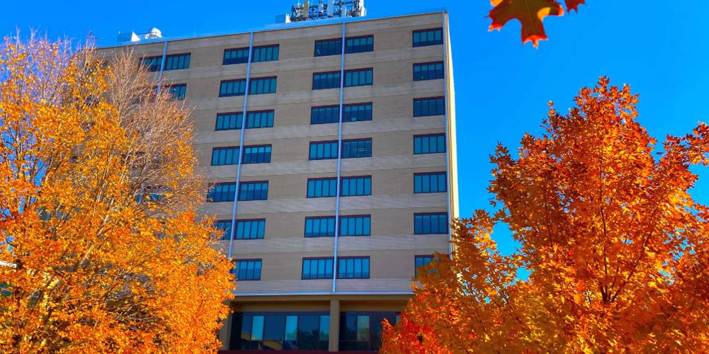
CALMIT offices are located at the School of Natural Resources in Hardin Hall, on the University of Nebraska-Lincoln East Campus.
University of Nebraska-Lincoln
101 Hardin Hall
3310 Holdrege Street
Lincoln, NE 68583-0961
CALMIT also maintains a field research facility at the University of Nebraska Eastern Nebraska Research, Extension and Education Center (ENREEC).
Content
Footer
