Research Areas
Drought
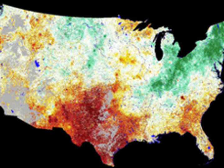
Image: 1-km VegDRI map showing the severe to extreme drought conditions that persisted across most of the central U.S. during the summer of 2012.

Climate/land surface interactions
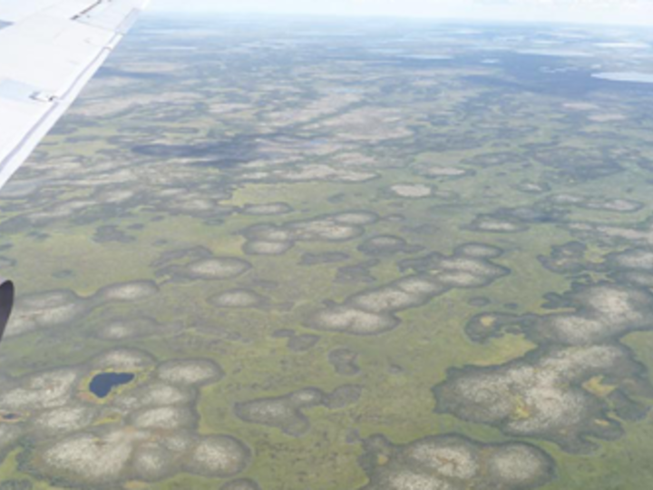
Image: Arctic baydjarakhs (high-centered polygons). Vegetation albedo forms these landscape features, though their future is uncertain in a changing climate.
Vegetation status and productivity
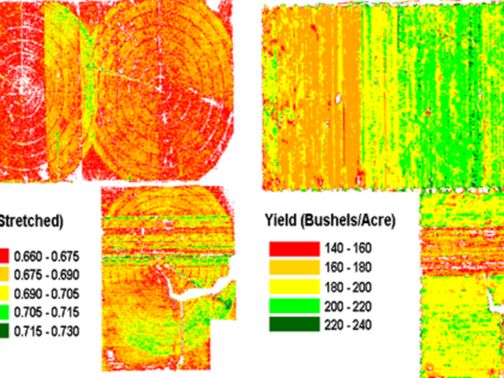
Image: Vegetation index, yield maps of Nebraska cornfields. (Crop Yield Monitoring project)
Ecosystem health/biodiversity
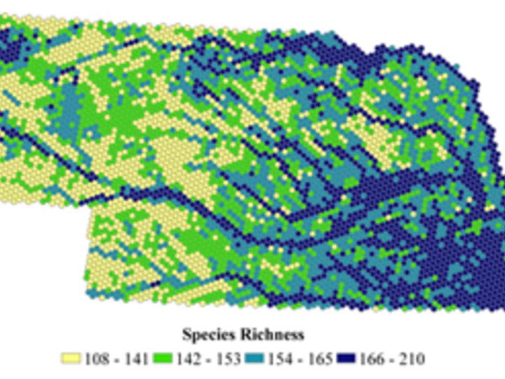
Image: Total species richness distribution by quartile (modeling hexagon). (Nebraska GAP project)
Hydrology, drought, soil moisture
Image: Vegetation Drought Response Index (VegDRI) for the first week of October in 2011. (VegDRI project)
Land use/land cover
Image: 2005 Land use patterns from Landsat 5 images and Nebraska Natural Resource Districts data.
Read More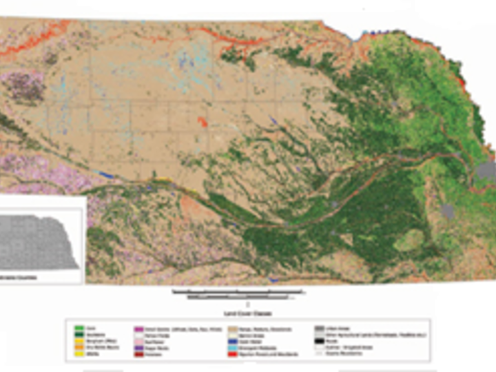
Facilities and tools used to answer research questions include:
- Hyperspectral, multispectral, and optical remote sensing
- Satellite image data (Landsat, SPOT, AVHRR, MODIS, IKONOS, SeaWIFS, etc.)
- Flux data
- Geographical information systems (GIS)
- Spatial modeling
Find out more about CALMIT research facilities, platforms, and labs here.
Research questions contribute to the body of knowledge regarding:
- Satellite data validation
- Efficacy of precision agriculture methods
- Renewable resources management
- Environmental hazard assessment
- Estimation of biophysical parameters of vegetation (e.g., leaf area index, production, fractional cover)
