Nebraska Gap Vertebrate Modeling
Commencing in the summer of 1999, NE-GAP terrestrial vertebrate modeling efforts were conducted by University of Nebraska-Lincoln in cooperation with the Nebraska Game and Parks Commission. To predict species distributions, known ranges were delineated and potential habitat was modeled for all terrestrial vertebrates known to breed regularly in the state. The objective of NE-GAP vertebrate modeling was to identify potentially suitable habitats for each species across Nebraska.
A number of data sources were required to create an extensive environmental variable table.
After initial data sets were created, they were then rescaled to 40km hexagonal coverage. These modeling hexagons were intersected with each variable dataset. Within each unique hexagon, values for each variable were calculated and then attributed to the intersecting hexagon. The final product is one table of all variables calculated for each unique hexagon that can be related to the modeling hexagonal coverage. A total of 101 environmental variables were used to identify and characterize wildlife-habitat relationships.
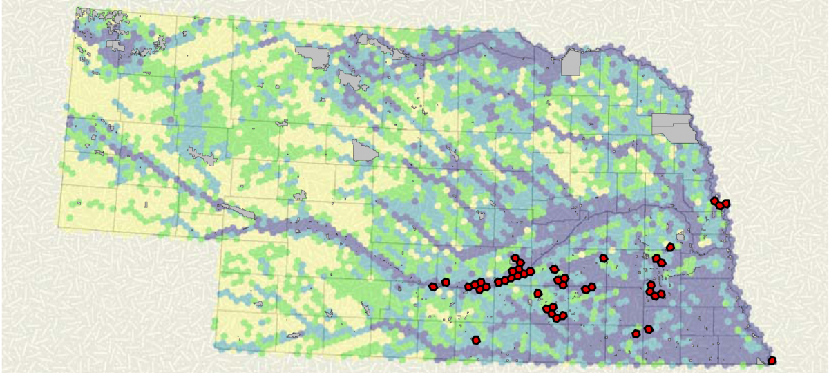
Maps showing vertebrate presence are shown below.

Total species richness distribution by quartile (modeling hexagon 40km2)

Bird species richness distribution by quartile (modeling hexagon 40km2)

Mammal species richness distribution by quartile (modeling hexagon 40km2)

Amphibian & reptile species richness distribution by quartile (modeling hexagon 40km2)
Download detailed Nebraska species modeling reports:
