Land Use Mapping
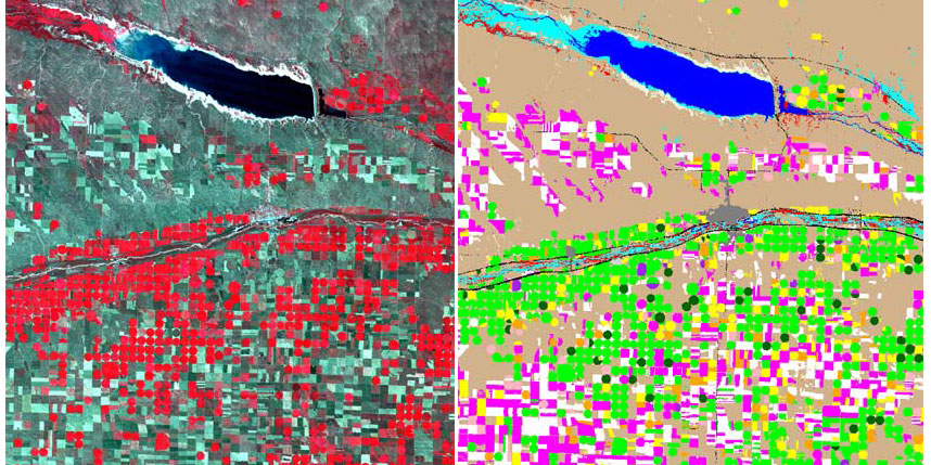
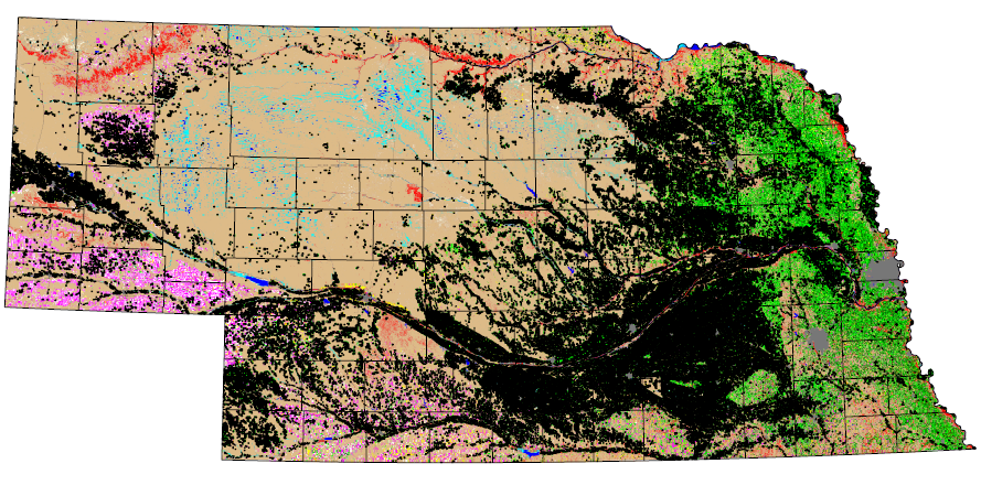
Nebraska is home to a wide variety of land uses, from irrigated row crops and winter wheat in the western part of the state to dryland corn and soybeans in the east. Agricultural practices shape the landscape and influence state and region-wide policies that involve everything from water use to endangered species and environmental concerns. To map 2005 agricultural patterns across Nebraska, CALMIT used multi-date Landsat 5 satellite imagery, field data from Nebraska Natural Resources Districts, and irrigaiton data provided by the Nebraska Department of Natural Resources.
The 2005 Land Use Mapping project at the Center for Advanced Land Management Information Technologies (CALMIT) was funded by the Nebraska Department of Natural Resources. The scale of the mapping products are 1:100,000 with a ground resolution of 28.5 meters. There are 25 land use classes and crops are identified as either irrigated or dry land. The overall accuracy of the statewide classification was calculated at 80.43%.

 |
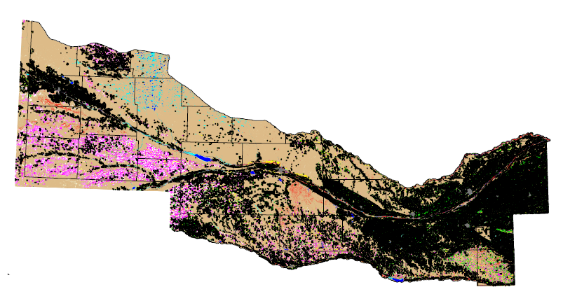 |
| Download Nebraska statewide data | Download Central Platte River Basin data |
