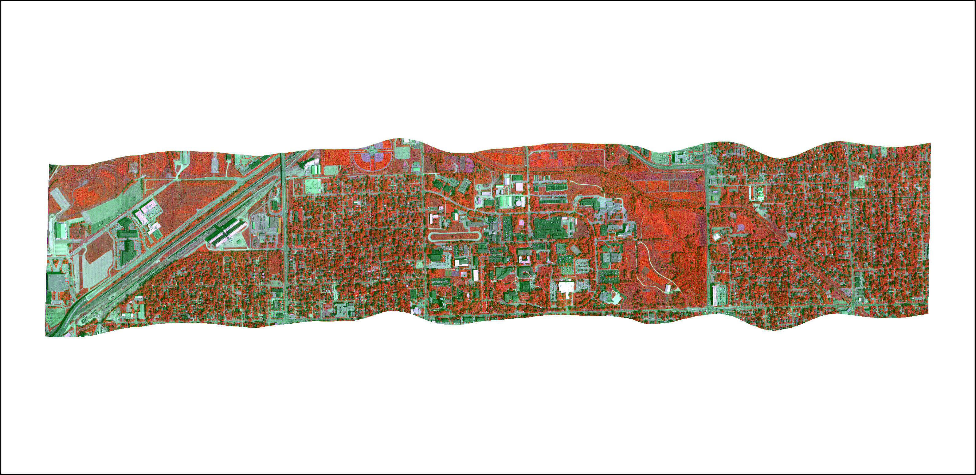
The Center for Advanced Land Management Information Technologies (CALMIT) is recognized as a center-of-excellence for education and scientific research on earth systems. CALMIT was one of the first research centers in the United States to use advanced remote sensing techniques to understand and map our world, and it remains a leader in the field of remote sensing and spatial science.
Established in 1986 by the Board of Regents of the University of Nebraska, CALMIT expanded the UNL Remote Sensing Center founded in 1972. CALMIT serves to focus the significant interdisciplinary expertise in advanced land management information technologies that exist at UNL and in the region. Especially strong programs exist in hyperspectral remote sensing of vegetation, surface water, and soils; remote sensing of water quality and aquatic vegetation; analysis of satellite image data for regional, continental, and global land cover characterization; and GIS-based spatial modeling for renewable resources management, environmental hazard assessment and land use/land cover change. CALMIT's facilities, among the best in the U.S., include:
- indoor spectroscopy/water quality laboratory for teaching, controlled experiments and sensor calibration.
- a 29-hectare field research station at the University of Nebraska Eastern Nebraska Research, Extension and Education Center (ENREEC), near Mead, Nebraska.
- several close-range remote sensing platforms to deploy sensor packages that operate from the ultraviolet through the microwave spectral bands over both land and water environments.
- an aircraft outfitted with instruments that include hyperspectral and thermal imaging systems.
CALMIT faculty and staff have remote sensing and geospatial science expertise in the areas of plant productivity and stress response, drought monitoring, ecological biodiversity, soil moisture and hydrology, climate-land surface interactions and land use/land cover characterization.
The Center also has expertise in spectral calibration, field data collection methods, airborne image acquisition, image processing and analysis, and GIS and remote sensing applications for environmental monitoring.
CALMIT’s work is recognized globally with extensive research collaborations both nationally and internationally through our work with scientists at various U.S. and international universities, federal and state agencies, and other non-governmental organizations. Center faculty teach introductory and advanced spatial methods courses and routinely host visiting students and researchers to advance their technical training in remote sensing and geospatial applications.
Our Location
CALMIT offices are located at the School of Natural Resources in Hardin Hall, on the University of Nebraska East Campus.
University of Nebraska-Lincoln
101 Hardin Hall
3310 Holdrege Street
Lincoln, NE 68583-0961
CALMIT also maintains a field research facility at the University of Nebraska Eastern Nebraska Research, Extension and Education Center (ENREEC).

