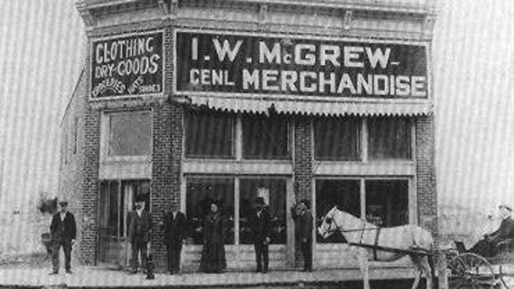
Historical Nebraska
Historical Nebraska is an interactive map that shows histories and photos of Nebraska towns. The content in Historical Nebraska comes from Nebraska... Our towns, a compilation of histories of all incorporated municipalities in the state -- from Gross (the smallest) to Omaha (the largest). Each town's story includes a brief history and pictures showing a contrast between the past and present.
Nebraska GAP
The Nebraska Gap Analysis Project (GAP) is part of a U.S. Geological Survey/Biological Resources Division (USGS/BRD) research effort that was implemented across the nation. The effort sought to identify the degree to which all native plant and animal species, and natural communities are or are not represented in present-day conservation lands. Species-rich areas, vertebrate species and land cover types that are not adequately managed for the long-term maintenance of native species and natural ecosystems constitute conservation "gaps."
COHYST
The Cooperative Hydrology Study (COHYST) is a cooperative effort to improve understanding of the hydrological and geological conditions in the Platte Basin in Nebraska upstream of Columbus, Nebraska. CALMIT contributed essential land cover and land use maps to the COHYST project which provided information critical to understanding hydrologic conditions. Historical and modern land cover data for the COHYST region were developed using Landsat-5 and Landsat-7 satellite imagery and ancillary data.
CALMIT PhenoCam
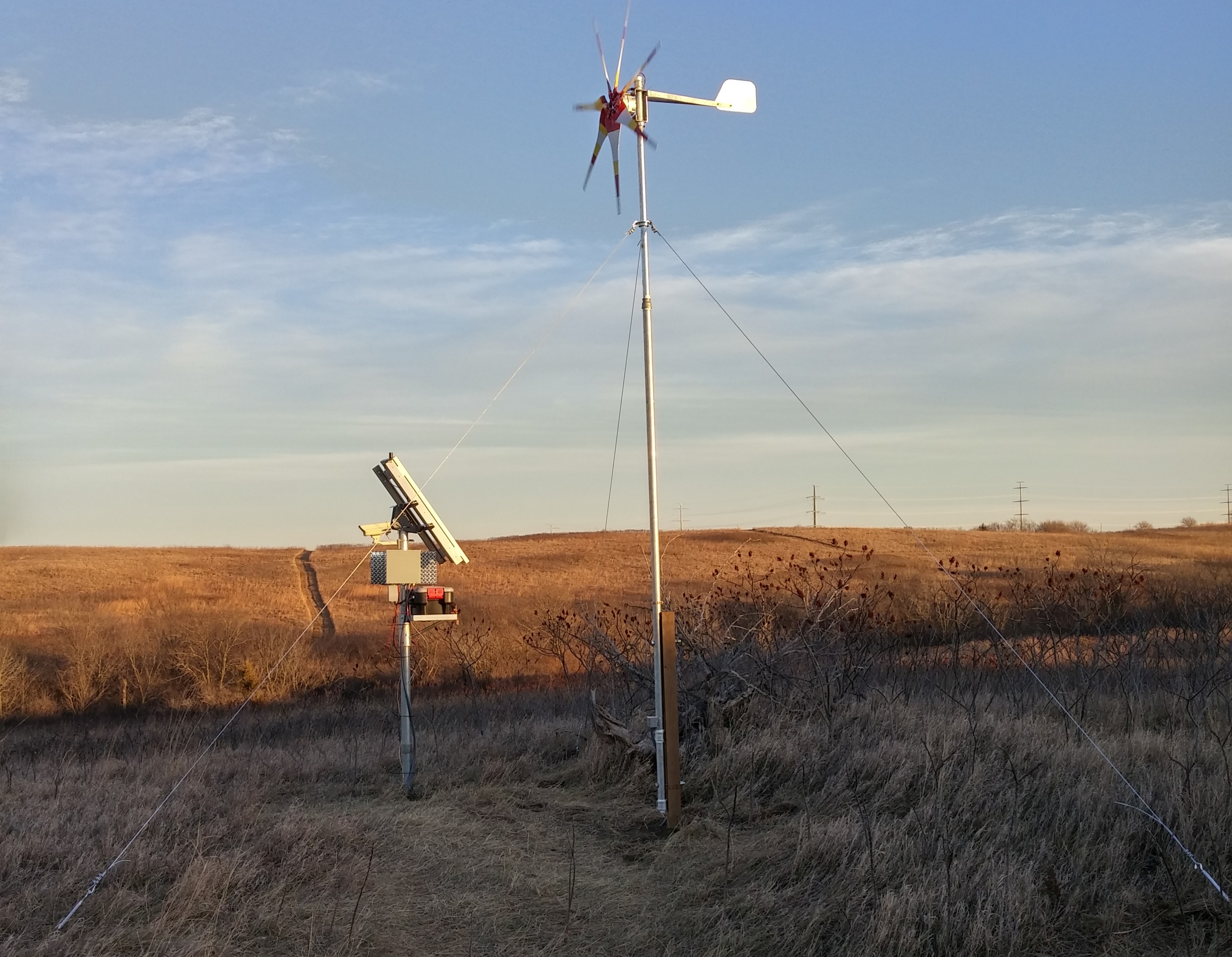
PhenoCam is an ecosystem phenology camera network with sites spanning the globe. The PhenoCam Network provides automated, continuous, near-surface remote sensing of vegetation canopy phenology. CALMIT maintains a solar and wind powered PhenoCam site at Nine-Mile Prairie. Nine-Mile Prairie is a 230-acre (97-hectare) relict tallgrass prairie that is a research and educational resource for the University of Nebraska-Lincoln.
Footer
