Nebraska . . . Our Towns
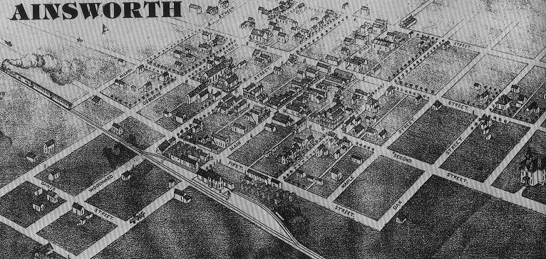
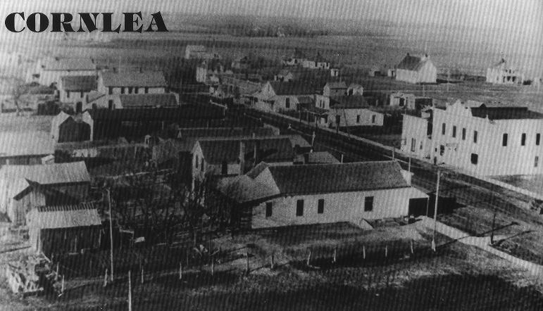
Historical Nebraska is an interactive map that shows histories and photos of Nebraska towns. The content in Historical Nebraska comes from Nebraska...Our Towns, a compilation of histories of all incorporated municipalities in the state -- from Gross (the smallest) to Omaha (the largest). Each town's story includes a brief history and pictures showing a contrast between the past and present.
The historical component of Virtual Nebraska came to fruition soon after "core" teachers became interested in tying space imagery together with history. For example, there was interest in comparing old maps scribed by Lewis and Clark with current-day satellite imagery, trying to locate remnants of the Oregon and Mormon trials, such as wagon ruts, on aerial photography, and comparing archived photos of Fort Atkinson with current day images. The ability to click on a satellite image, or map, to access historic information and photographs was considered to be an excellent way for making the data more "real" and applicable to K-12 classrooms.
After briefly researching Nebraska history, we located the Nebraska...Our Towns, book series coordinated by Jane Graff of Seward, Nebraska. Following a brief meeting with Jane, it was determined that digitizing the books and making them available through Virtual Nebraska would be mutually benefiting. The end result is that users can now obtain historic information for over 500 Nebraska cities. No other state in the nation has such a comprehensive record of city history compiled under one source - it is truly one-of-a-kind.
Nebraska...Our Towns was published by Second Century Publication Committee 1997 280th. St., Seward, Nebraska 68434-7832. Coordinator Jane Graff, starting in 1986, completed the seventh and final volume in 1992. This all-volunteer effort gave Nebraska the distinction of being the only state with such a compilation in print at that time. Nebraska...Our Towns was awarded the Certificate of Commendation by the American Association of State and Local History in 1994.
A wealth of online historical images can also be found in the Nebraska State Historical Society Photographic Archives.
About Virtual Nebraska
Virtual Nebraska emerged out of the Consortium for the Application of Space Data to Education (CASDE) project which began in September 1995 after Senator Bob Kerrey challenged personnel of the Jet Propulsion Laboratory (JPL) to find a better way to apply NASA's space data holdings to education. CASDE's primary objective is to utilize NASA's legacy of data, information, and technology to stimulate and challenge K-12 students to acquire and use scientific, mathematical, and other skills. Project partners are the University of Nebraska-Lincoln (UNL), JPL, and the University of Nebraska-Omaha (UNO).
In general, Virtual Nebraska is an on-line archive of satellite imagery and aerial photography that gives users the opportunity to view the State's landscape from unique perspectives (e.g., at infrared or microwave wavelengths). Additionally, this web site offers digital elevation data, learning activities, image-processing tools, historical "looks" at over 500 cities, and examples of how remotely sensed data can be used to solve problems. We encourage you to use Virtual Nebraska to study the State's geography, learn about the history of your city, locate your school, monitor vegetation patterns throughout a growing season, or map the statewide distribution of snow cover in January.
![Lincoln's first capitol building [Nebraska State Historical Society].](/sites/unl.edu.ianr.snr.calmit/files/media/image/CALMIT-historical-Lincoln.jpg)
Footer