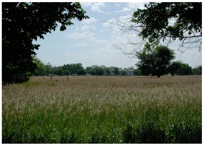
 Figure 1. Mixed vegetation types at a NE ARNG training site.
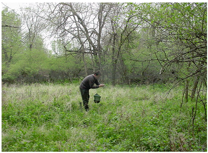
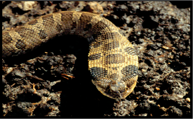
Figure 3. An Eastern Hognose snake photographed at a NEARNG site.
Principal Investigators: Sunil Narumalani, Robert Rothwell, and Jared Burkholder, all of CALMIT, University of Nebraska-Lincoln.
Introduction: As of 2015, Nebraska Army National Guard (NE ARNG) facilities and training grounds included 6,192 acres of land, much of it rich habitat for wild species. The National Guard recognizes the importance of managing the nation’s natural resources to prevent environmental degradation and to create a sustainable training environment that facilitates their military mission. Collecting accurate natural resource information is vital for the foundation and implementation of an Integrated Training Area Management (ITAM) Program and the Integrated Natural Resources Management Plan (INRMP). It is also important that information is collected on pest and invasive species for use as the foundation for the INRMP Pest and Invasive Species Management Plan (PISMP). The NE ARNG is cooperatively working with CALMIT to execute a survey of flora and fauna located in three training sites.Protection and management of natural resources is an ongoing goal for the environmental planners of the NE ARNG. Information derived from these studies will be used to enhance habitat quality while sustaining its first priority to train Nebraska citizen soldiers.
Methods: This project involved:
- Performing field surveys of vertebrate and invertebrate species of fauna and flora of the forests, grasslands and wetlands used by NE ARNG for training personnel.
- Collecting and recording relevant field data describing the biodiversity and relative abundance of flora and fauna at the study sites.
- Developing a GIS database that included:
-- Checklists of species present.
-- Relative species abundance by ecoregion.
-- Methodologies used for the data collections.
-- Proposed monitoring protocols and methods that support the NE ARNG training mission and management of selected habitat.
-- Map products for enhancing strategic management decisions.
This project is a collaborative effort of the Nebraska Army National Guard (NE ARNG) and the Center for Advanced Land Management Information Technologies (CALMIT), and is funded by NE ARNG.
