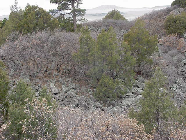
 Figure 1. Ground image of vegetation at Capulin Volcano National Monument.
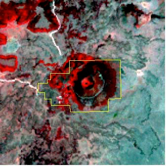
Figure 3. Enhanced Digital Orthophoto of Capulin Volcano National Monument
Principal Investigators: Sunil Narumalani and Jared Burkholder, CALMIT; Susan Tunnell, Department of Agronomy and Horticulture, University of Nebraska-Lincoln. Gary Willson, NPS Research Coordinator, National Park Service.
Introduction: The National Park Service needs to identify and delineate areas of noxious weeds within three parks, including the Capulin Volcano National Monument and the Fort Union National Monument, located in New Mexico, and within a portion of Lake Meredith National Recreation Area, Texas. CALMIT used satellite imagery, aerial photos, and GPS technology to aid in inventory surveys and mapping of these areas. The National Park Service will use this information to assess the effectiveness of ongoing weed management actions and to complete NEPA compliance for the weed management program.Methods: Prior to field surveys, satellite imagery was used to assess potential areas of infestation. Weed survey maps were created by using GPS technology to identify coordinate locations of weed infestation .
Data Analysis: Maps and analyses generated from differentially corrected, ground-collected GPS data and aerial imagery was provided to the National Park Service upon completion of the project.
Funding for this project was provided through a grant from the U.S. National Park Service.
